


Randonnée Le Salas


GPS parking : 43.62882, 2.49675
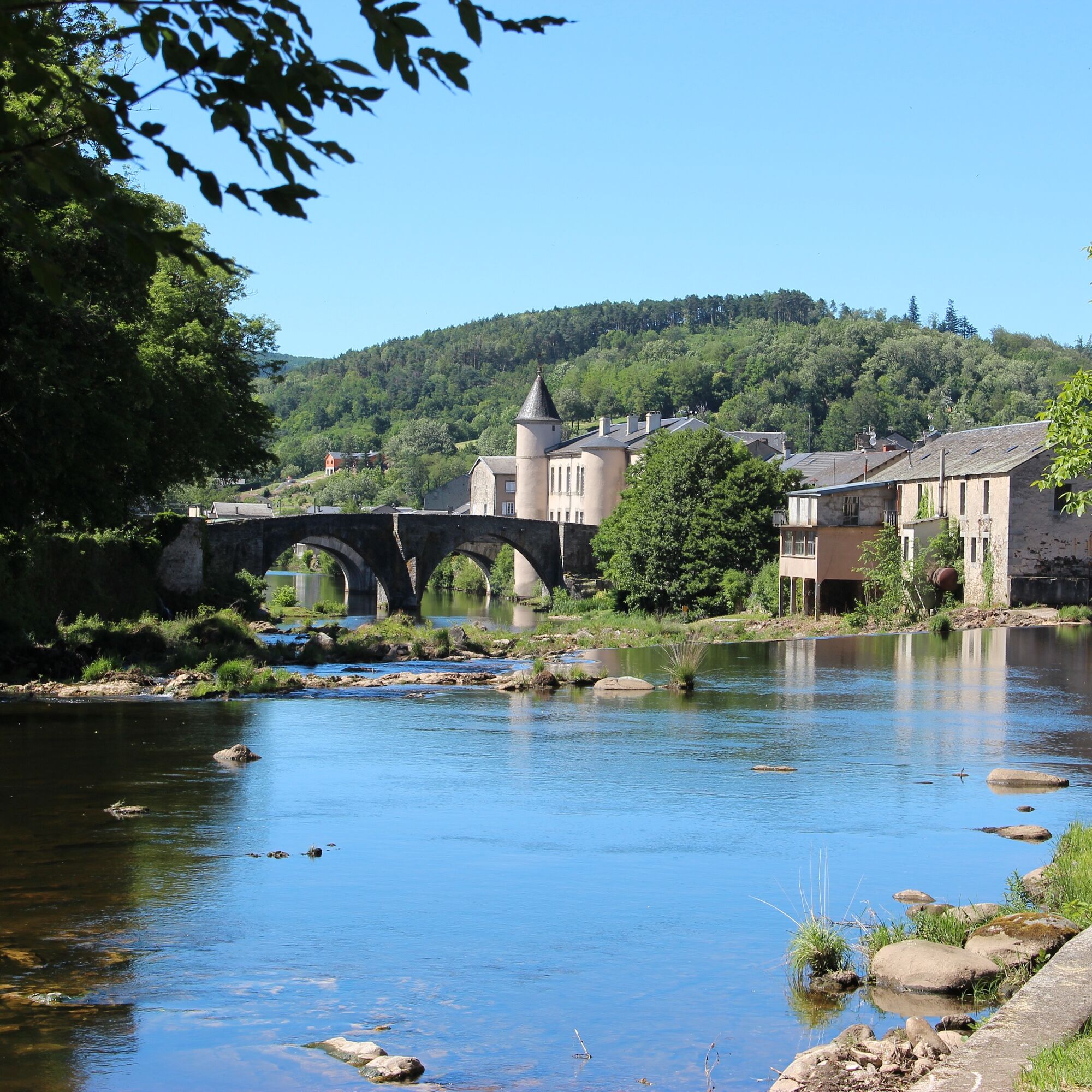
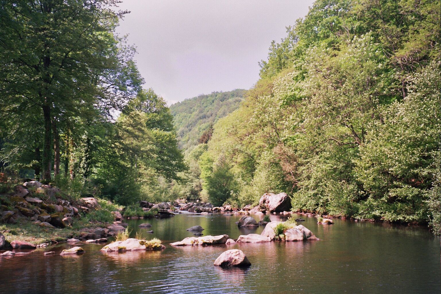
The Agout river, emerging from a steep gorge, meanders into a vast basin. In the Middle Ages, it separated the castles of the lordships of Castelnau (right bank) and Belfortès...
GPS parking : 43.62882, 2.49675
The Agout river, emerging from a steep gorge, meanders into a vast basin. In the Middle Ages, it separated the castles of the lordships of Castelnau (right bank) and Belfortès (left bank). This river carried away the bodies of the belligerents during the struggles between Protestants and Catholics in the 16th century. It operated the fulling mills (paradors) which pressed the woolen cloths to give them their consistent texture. In the 17th century Brassac was already producing the best quality, called cordelats. Brassac was developing thanks to the energy of its river and its men.

European emergency number: 112
APIDAE Tourismusdaten aktualisiert am 05/05/2021 von "Office de Tourisme Sidobre Vals et Plateaux".
Haben Sie einen Fehler entdeckt? Schreiben Sie an den Besitzer mit folgenden Hinweisen:
Dateiname: Randonnée Le Salas | Identifikationsnummer dieser Seite: 845746 | URL (Link) für diese Outdooractive-Seite.
Beliebte Touren in der Nähe
CIRCUIT TOURISTIQUE EN VOITURE - LA ROUTE DES LACS
leichtMotorrad129,1 kmRandonnée pédestre : Les Hauts de la Môle 13km / 3h30
schwerWanderung11,3 kmRandonnée La Ronda del Peiraire
leichtWanderung15,0 kmCircuit n°3 VTT - Secteur Lacrouzette
schwerMountainbike28,1 kmCircuit Nr. 2 MTB - Gebiet Lacrouzette
schwerMountainbike21,8 kmLa balade Monteliote
schwerWanderung13,0 kmRandonnée VTT Le Lac par l'Orée du Bois
schwerMountainbike26,9 kmTour du Tarn à cheval : Montredon-Labessonnié / Cambounès
schwerReiten26,8 kmRandonnée des crêtes du Bau del Poun
leichtWanderung9,25 kmRandonnée du chaos de la Balme
leichtWanderung6,16 km
Wandern & Tracking


Verpasse keine Angebote und Inspirationen für deinen nächsten Urlaub
Deine E-Mail-Adresse wurde in den Verteiler eingetragen.