Tour 31 Points de vues
schwer
Navigieren
Navigieren
Hol diese Tour auf dein Handy
Tour 31 Points de vues
schwer
Wanderung
20,55
km
QR-Code scannen und Navigation in der bergfex App beginnen

Wandern & Tracking


Tour 31 Points de vues
schwer
Distanz
20,55
km
Dauer
06:00
h
Aufstieg
762
hm
Seehöhe
444 -
893
m
Track-Download
Tour 31 Points de vues
schwer
Wanderung
20,55
km


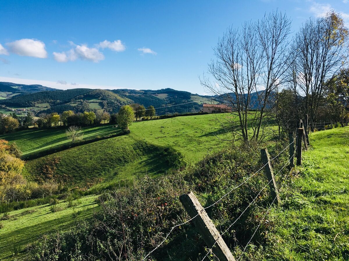
At the end of the circuit, view of the railway loop, which allows trains to gain 43 m in altitude without exceeding the 11 mm per meter gradient. Beware, stony descent between the Bois des Princes and...
Beschreibung
At the end of the circuit, view of the railway loop, which allows trains to gain 43 m in altitude without exceeding the 11 mm per meter gradient. Beware, stony descent between the Bois des Princes and the Croix Baleu. At km 8.5, at the post ʺPlat of Mollardsʺ, possibility to return to the village (2.4 km).
Average pace of 3.5km/h.
Wegverlauf
Église Saint-Nizier
(520 m)
Andachtsstätte
0,0 km
Chevenal
(523 m)
Siedlung
0,7 km
Chavanne
(491 m)
Siedlung
3,6 km
Chevelas
(807 m)
Siedlung
7,0 km
La Collonge
(478 m)
Siedlung
18,2 km
Les Petits Trèves
(432 m)
Siedlung
19,7 km
Église Saint-Nizier
(520 m)
Andachtsstätte
20,3 km
Wegverlauf
Tour 31 Points de vues
schwer
Wanderung
20,55
km
Église Saint-Nizier
(520 m)
Andachtsstätte
0,0 km
Saint-Nizier-d'Azergues
(519 m)
Dorf
0,0 km
Au Coeur du Village
(518 m)
Restaurant
0,0 km
Chevenal
(523 m)
Siedlung
0,7 km
Chavanne
(491 m)
Siedlung
3,6 km
Les Forêts
(644 m)
Siedlung
5,0 km
Chevelas
(807 m)
Siedlung
7,0 km
Le Cantin
(559 m)
Siedlung
17,2 km
La Collonge
(478 m)
Siedlung
18,2 km
Le Montcenis
(471 m)
Siedlung
18,8 km
Les Petits Trèves
(432 m)
Siedlung
19,7 km
Au Coeur du Village
(518 m)
Restaurant
20,3 km
Église Saint-Nizier
(520 m)
Andachtsstätte
20,3 km
Saint-Nizier-d'Azergues
(519 m)
Dorf
20,5 km
Autor
Bereitgestellt von Rhône Tourisme
Die Tour Tour 31 Points de vues wird von outdooractive.com bereitgestellt.

Noch keine Bewertungen
Beliebte Touren in der Nähe
La forêt de la Cantinière - Beaujolais - Saint-Cyr-le-Châtoux
leichtWanderung11,3 kmDe l’Aze à l’Ergues - Beaujolais Vert - Claveisolles
leichtWanderung13,0 kmThe forest of Brou - Beaujolais - Dième
leichtNordic Walking10,5 kmLes pierres dorées - Entre Pierres Dorées et Val d’Azergues - Boucle 7.4
schwerRennrad57,6 kmThe Cantinière forest
leichtThemenweg2,96 kmLe tour de la montagne de Crochet et du mont Tourvéon
leichtWanderung13,1 kmAround the Lac des Sapins - Beaujolais Vert - Cublize
leichtWanderung4,76 kmCircuit VTT B9 Marchampt
schwerMountainbike19,8 kmCircuit VTT B8 de Quincié-en-Beaujolais à Marchampt
leichtMountainbike17,1 kmTrail around Lac des Sapins - Beaujolais Vert - Cublize
schwerTrailrunning15,0 km
Wandern & Tracking

Über 550.000 Tourenvorschläge, detailliertes Kartenmaterial und ein intuitiver Routenplaner machen die App zum Must-have für alle Naturbegeisterten.

Verpasse keine Angebote und Inspirationen für deinen nächsten Urlaub
Zum Newsletter anmelden
Fehler
Ein Fehler ist aufgetreten. Bitte versuche es erneut.Vielen Dank für deine Anmeldung
Deine E-Mail-Adresse wurde in den Verteiler eingetragen.
Touren in ganz Europa
Österreich Schweiz Deutschland Italien Slowenien Frankreich Niederlande Belgien Polen Liechtenstein Tschechien Slowakei Spanien Kroatien Bosnien und Herzegowina Luxemburg Andorra Portugal Island Vereinigtes Königreich Irland Griechenland Albanien Nordmazedonien Malta Norwegen Montenegro Moldau Kosovo Ungarn San Marino Rumänien Estland Lettland Belarus Zypern Litauen Serbien Bulgarien Monaco Dänemark Schweden Finnland